Bitterroot

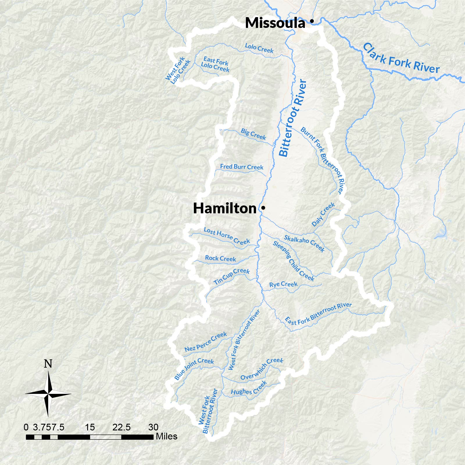
The Bitterroot River flows northward through an iconic valley known for its rugged beauty and sparkling waters. Surrounded by national forests, the Bitterroot River and its tributaries supply habitat and critical movement corridors to wildlife and fish species. The Bitterroot is also a cultural, economic, and recreation resource for the people of the region, and has been for millennia. The Salish name for the river translates as “Place of the bitterroot” after the bitterroot plant, whose root was an important food source.
Now, logging, agriculture, and development have significantly altered the region. Starting in the late 1800s, logging companies built a complex web of roads through the forests to cut timber. Then, hundreds of miles of irrigation pipes and ditches pulled water from the river to sustain intensive agricultural operations. These industrial uses altered the natural function of the river and many creeks, removing water from the system, accelerating erosion, increasing sediment loads, and blocking fish passage. In addition, more recent urbanization and climate change further stress the basin.
Our focus in the Bitterroot
Boost the health of the Bitterroot River system through integrated strategies that improve overall resiliency, connectivity, and flow in key tributaries.
Although the Bitterroot faces ecological challenges, the good news is we can reverse many of these impacts, improve water quality, and rebuild resilience so the watershed can better handle drought, intense fires, and other stressors.
The Coalition focuses on adding water to thirsty creeks, reducing sediment sources, and removing fish passage barriers. In partnership with local stakeholders, we collaborate on restoration projects in key headwaters, work together to monitor flow and water quality, and help implement more efficient irrigation practices to return water to the Bitterroot system.


What’s happening now in the Bitterroot
-
 Community Science Monitoring Miller Creek
 -
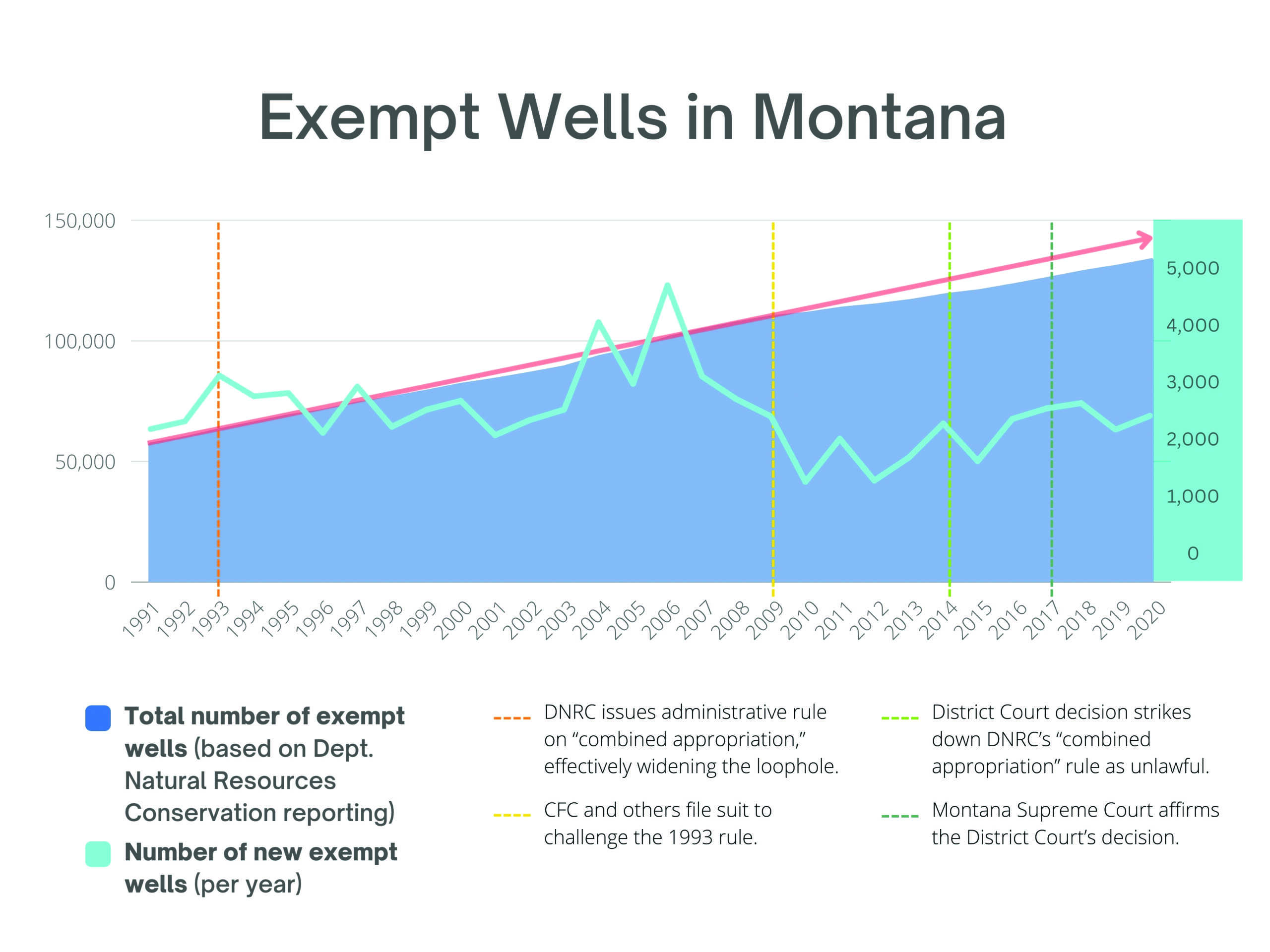 Exempt Wells Loophole
 -
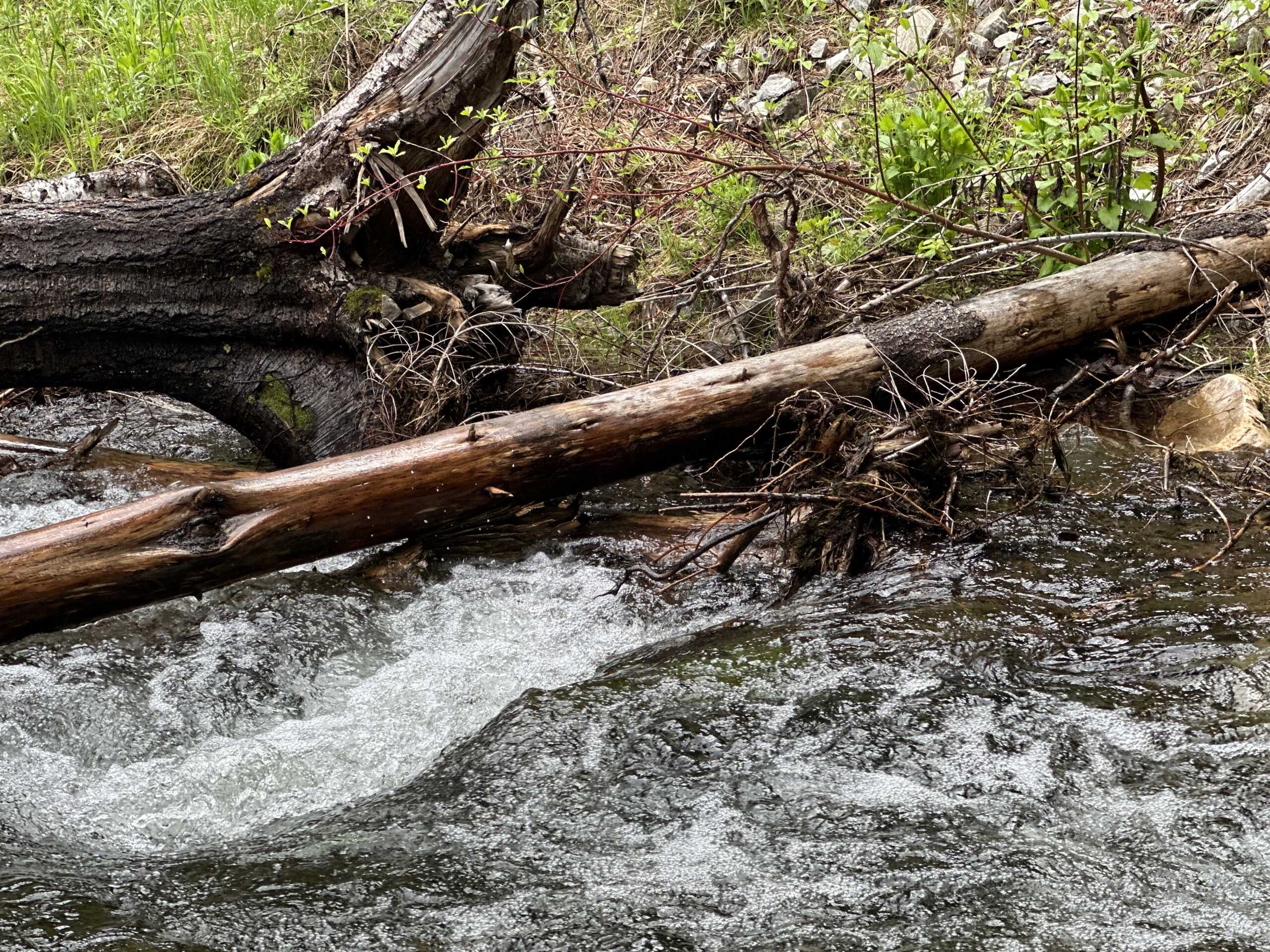 Granite Creek Restoration
 -
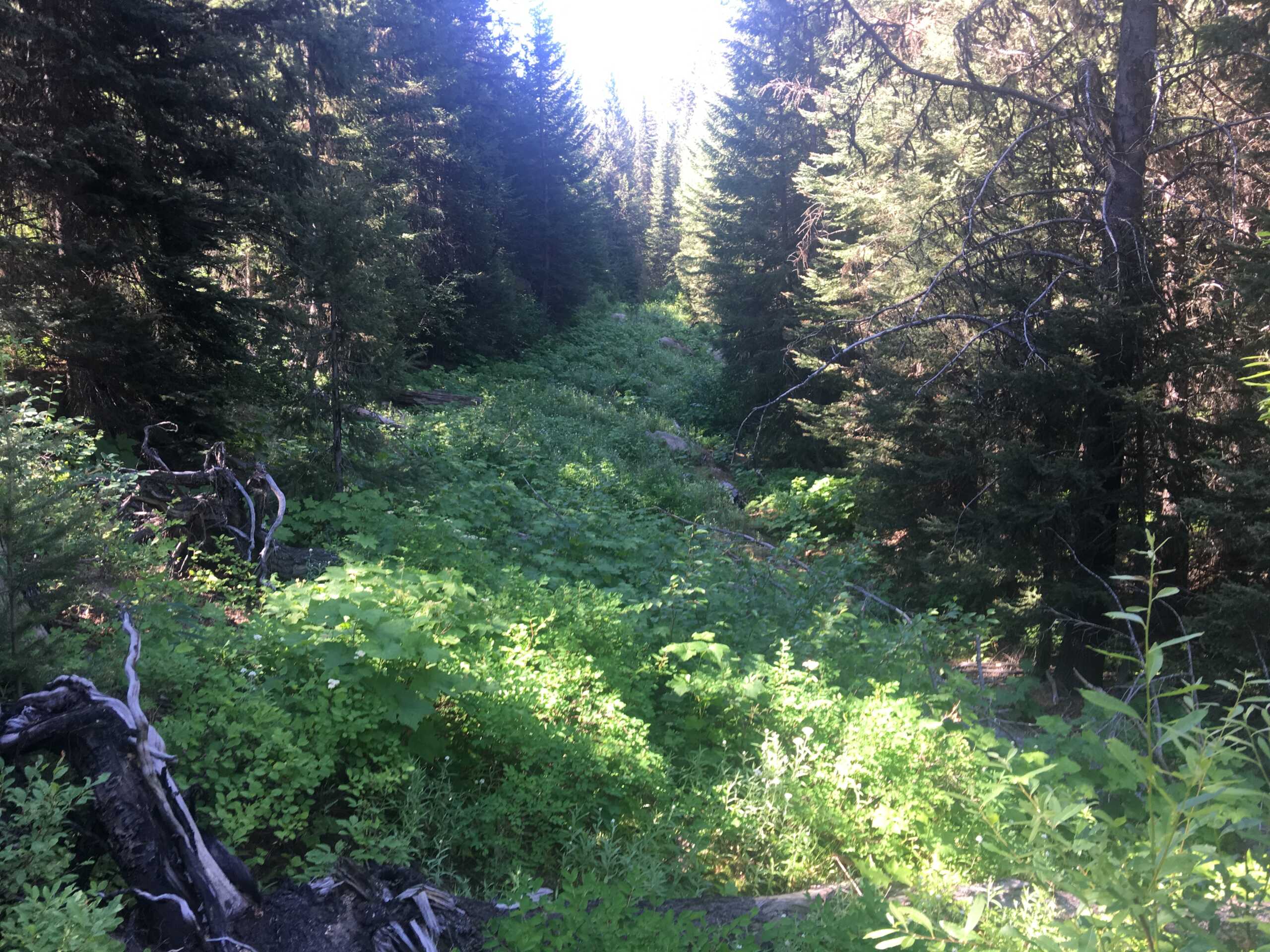
 Lost Horse Creek Monitoring
What we’ve accomplished in the Bitterroot
-
 West Fork Lee Creek Road Decommissioning and Fish Passage
 -
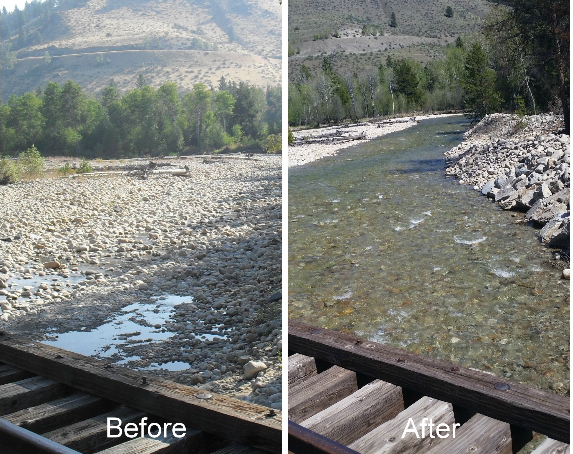
 East Fork Lolo Creek RestorationOn the East Fork Lolo Creek, we installed wood jams into the stream to create complex aquatic habitat and help filter and trap sediment. We also re-naturalized unused forest roads to decrease sources of sediment washing into the stream. Clark Fork Coalition has worked in the Upper Lolo watershed since…
 -
 Lolo Ditch Fish ScreenIn 2020, CFC completed installation of a fish screen on Lolo Ditch, which, before this project, had trapped 10,000 fish each year, greatly impacting native and wild fish populations.
 -
 Milltown Dam RemovalFor 100 years, Milltown Dam blocked the confluence of the Clark Fork and Blackfoot rivers near Missoula, trapping toxic sediments that washed down from mines in Butte and contaminating local drinking water wells. Now, the dam is out, the mining waste is gone, fish can swim back upstream, and two mighty…
 -
Volunteer
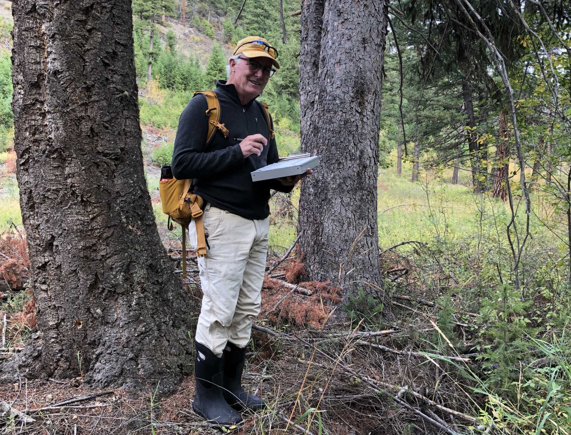
Community scientists who collect monitoring data help expand our capacity for projects in the Bitterroot!