Water Monitoring
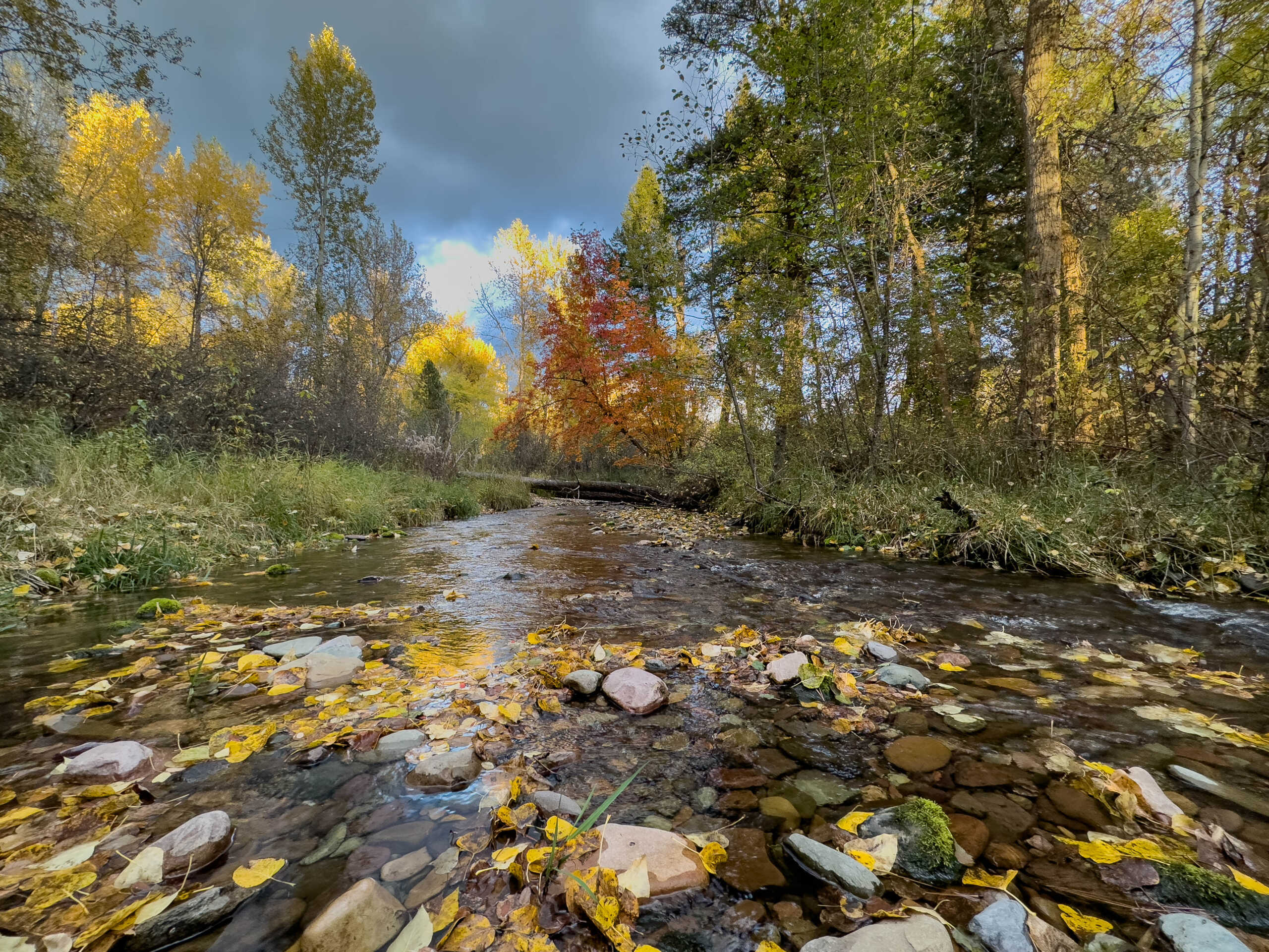
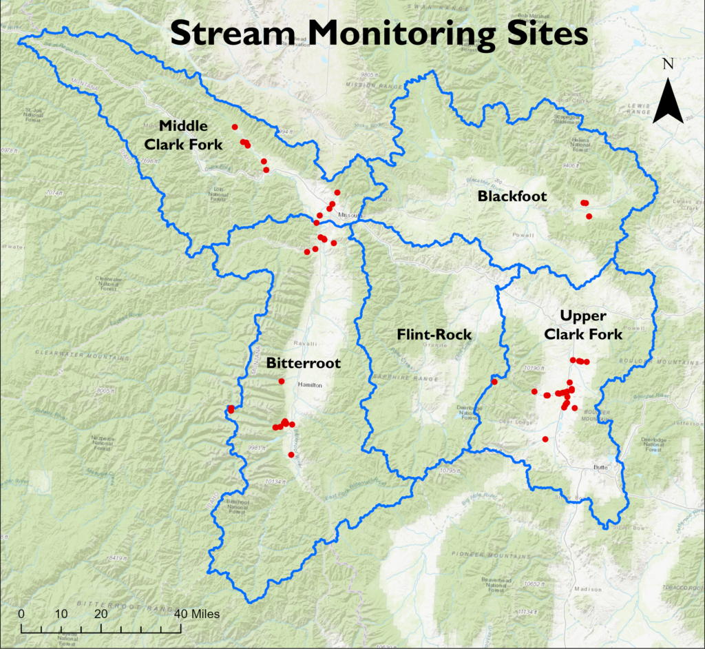
From spring through early fall, we monitor flows and temperatures at 42 stations on 28 streams and ditches across the Middle Clark Fork. Blackfoot, Bitterroot, and Upper Clark Fork basins.
The data we collect allows us to manage instream water rights and measure the effectiveness of restoration projects that impact the health of our tributaries—increasing water volume, keeping streams wet that would otherwise dry out at certain times of year, and returning fish to newly accessible habitat.

How we do it
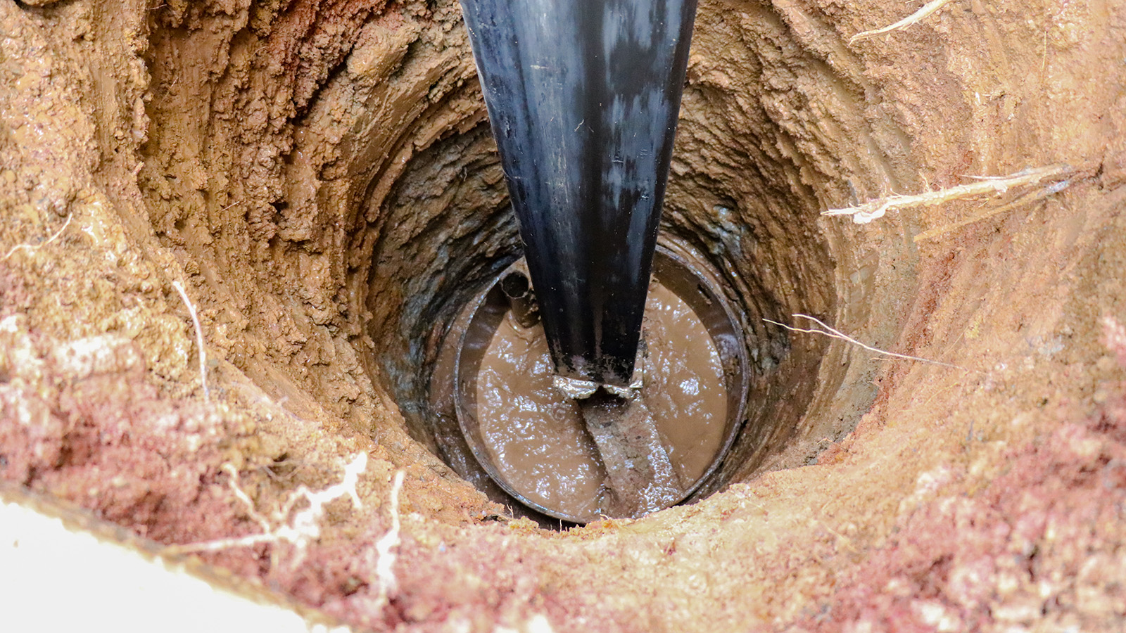
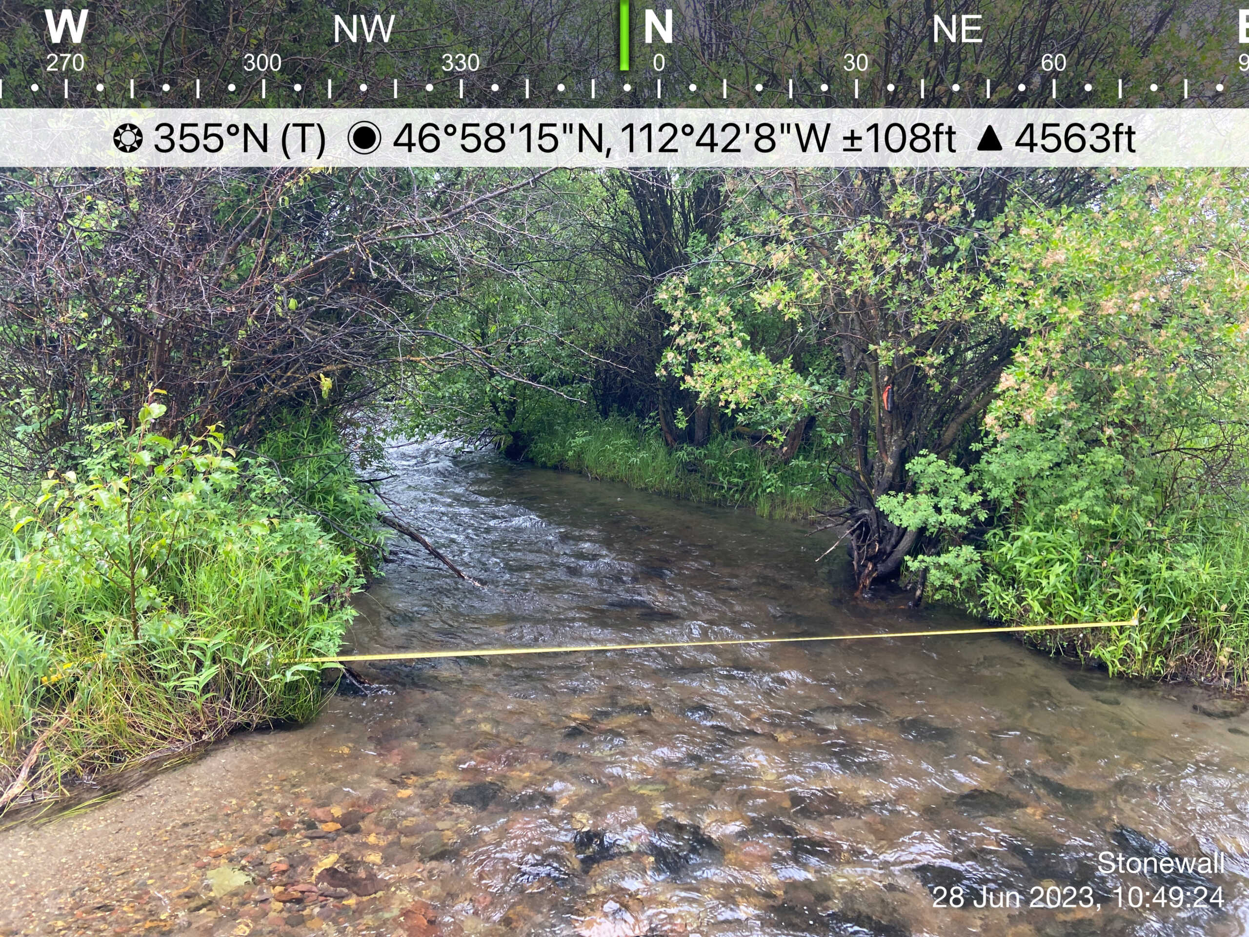
At each of our monitoring sites, before our first measurement each year we install a sensor that records pressure and temperature every hour. We collect about 5-6 discharge measurements at each site across a range of flow levels (from as high as we can safely wade to the lowest flows, usually in August). From these measurements we create a rating curve, which is a relationship between stream flows and water depths. This relationship is unique to each stream and monitoring period, and must be reestablished every year with new flow measurements. Using this rating curve, we can extrapolate hourly flows to create a hydrograph for the entire monitoring period.